Saint Jo Head of Elm Cemetery is a frontier-era rural burial ground near Saint Jo, holding a Texas Historical Commission historical marker (site id saint-jo-area-04 in this inventory). Its name ties it directly to one of the most documented historic landmarks in Montague County: the Head of Elm campsite, which Capt. Randolph B. Marcy documented on his 1849 government survey of the California Trail, which U.S. Army expeditions used through the 1850s, and which cattle drovers watered at during the Chisholm Trail era of 1867–1887.
The full marker inscription has not been retrieved from published sources. The marker’s THC designation number has not been confirmed in available sources.
The Head of Elm: Historical Significance
“Head of Elm” refers to the headwaters of the Elm Fork of the Trinity River, a landmark in the North Texas landscape where springs or reliable water sources made the site a natural stopping point for travelers on north-south routes. The Elm Fork headwaters are in the Saint Jo area, making Saint Jo one of the historically documented waypoints on multiple trail systems.
The THC subject marker for this location (site saint-jo-02 in this inventory, “Head of Elm Marker,” 1964) documents the site’s layered history: Marcy’s 1849 survey, Pope’s 1854 railroad survey, the 2nd Cavalry’s 1855 march, the 1857 “Corn Train” to Fort Belknap, the opening of a Post Office in 1860, the cattle-trail era of 1867–1887, and the founding of Saint Jo on this site in 1873 by I.H. Boggess and J.A. Howell. The town of Saint Jo grew directly out of the Head of Elm camping and supply economy.
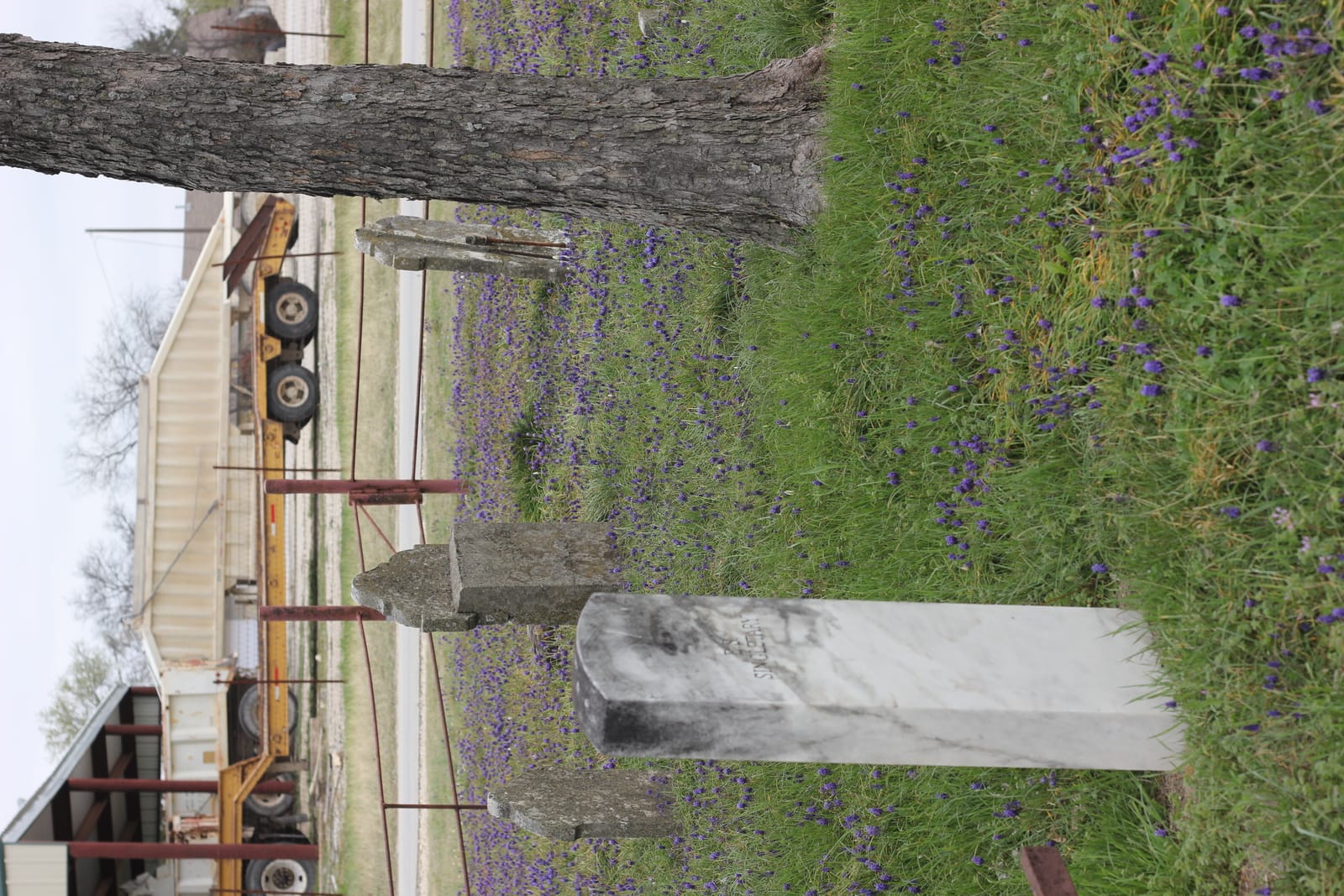
A cemetery named “Saint Jo Head of Elm Cemetery” in this geographic context is associated with that frontier-settlement layer — the period when the Head of Elm site transitioned from a travel waypoint to a settled community.
Name Overlap: Elm Creek / Head of Elm in Master Inventory
The master inventory of Montague County cemeteries includes a separate entry, “Elm Creek / Head of Elm,” documented under id elm-creek-head-of-elm, located “along FM 1806–1816 corridor near Saint Jo, associated with the historic Head of Elm campsite.” It is unclear from available sources whether this entry and Saint Jo Head of Elm Cemetery refer to the same physical burial ground under alternate names, or to two distinct burial grounds in the same general corridor. The master inventory treats them as separate; the relationship should be clarified through field survey and MCCPC consultation.
Researchers working on Saint Jo-area family genealogy should note this ambiguity and search under both “Saint Jo Head of Elm Cemetery” and “Elm Creek / Head of Elm Cemetery” in Find A Grave, BillionGraves, and MCCPC records.
Frontier-Era Classification
The THC marker inventory classifies this cemetery in the frontier era. The frontier era in Montague County spans roughly from first organized settlement (1849–1858) through the end of active Comanche and Kiowa raiding (late 1870s) and the arrival of the railroad (1882). A frontier-era cemetery near Saint Jo’s Head of Elm site would have served farming and ranching families who settled in the Head of Elm corridor during this period — a location that already had documented water sources, a trail network, and eventually postal service, making it attractive for early settlement.
The Saint Jo area supported multiple simultaneous community cemeteries in this era: Mountain Park Cemetery, Starkey Cemetery, Illinois Bend Memorial Cemetery, Center Point Cemetery, Dye Mound Cemetery, and McGrady Cemetery are all documented in the county’s southeastern and southern quadrants. Saint Jo Head of Elm Cemetery is one of this cluster, associated specifically with the Head of Elm locality.
What is not yet documented
The following are not confirmed in available sources:
- THC marker inscription verbatim text
- THC Atlas accession number (not yet confirmed; requires direct THC Atlas inquiry)
- Establishment date or earliest confirmed burial
- Founding family or land donor
- Exact location (specific road, GPS coordinates)
- Interment count
- Current maintenance status or governance organization
- Find A Grave cemetery page ID
- Denomination (no church affiliation evident from name; community designation assumed)
- Relationship to the separately listed “Elm Creek / Head of Elm” inventory entry
The ambiguity between Saint Jo Head of Elm Cemetery and the “Elm Creek / Head of Elm” master inventory entry may reflect the same physical burial ground under variant names.
Sources
- Historic Markers of Montague County — Head of Elm Marker (saint-jo-02) — 1964 THC marker for the Head of Elm campsite; contextual history for this cemetery’s location
- Historic Markers of Montague County — Saint Jo Head of Elm Cemetery (saint-jo-area-04)
- Mountain Park Cemetery — principal Saint Jo-area municipal cemetery
- Illinois Bend Memorial Cemetery — neighboring frontier-era cemetery in the same quadrant
- Center Point Cemetery — neighboring Saint Jo-area cemetery
- [Montague County Cemeteries — County Hub](/places/cemeter