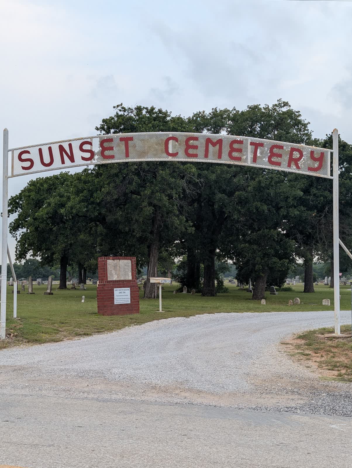
Sunset Cemetery sits just off Highway 287 at the Sunset exit in southeastern Montague County, on Cemetery Road approximately a quarter mile north of the highway. Its GPS coordinates — 33.43670°N, 97.76390°W — are confirmed by BillionGraves and Find A Grave. The cemetery is accessible, active, maintained by an organized Cemetery Association, and formally listed in state historic cemetery records. In a county where many rural burial grounds lack basic documentation, Sunset Cemetery stands out for the depth of what is known about it.
The community it serves has followed a more complicated arc. Sunset was founded in 1870 by settlers from Denton County. Sam Smith opened a grocery store and applied for a post office under the name “Smithville”; postal authorities suggested “Sunset” instead. The community became a functioning market center. It was never served by a railroad, but Highway 287 — the successor to the Chisholm Trail’s general north-south orientation in this part of Texas — positioned it on a significant regional corridor. Sunset thrived through the early 20th century, contracted sharply during the Great Depression and the post-WWII mechanization of agriculture, and formally disincorporated in 2007. The cemetery outlasted the incorporated town. It is still receiving burials.
Formal Organization (1894) and Pre-Organization Burials
The formal organization of Sunset Cemetery under the name “Sunset-Beasley Cemetery” occurred in 1894 — confirmed by the Rootsweb transcription, Texas Gravestones Project, and Genealogy Trails. The “Beasley” component of the original name has not been attributed to a specific donor family or individual in available primary sources; it was likely a founding family name that was eventually dropped in favor of the simpler “Sunset” designation.
The 1894 organization date does not mark the beginning of burial activity at the site. The Rootsweb transcription documents the earliest confirmed named burial as Alfred D. Holley (d. August 1, 1884) — a decade before the formal organization. Sarah M. Ward Keller (d. January 10, 1887) and Roana J. McIlvain (d. March 19, 1898) follow in the documented early burial sequence. These three individuals were buried here before the cemetery had an official name, a governing association, or a formal deed. Their burials represent the informal phase of community burial practice that typically preceded formal organization in 19th-century Texas.
The research file’s earlier reference to “records documenting individuals from the 1850s era” appears to be an unsupported generalization. The earliest specifically named burial in the Rootsweb transcription is from 1884, not the 1850s. This discrepancy is flagged here: the “1850s era” claim should be treated as unverified until a Rootsweb full-transcription review or primary deed research can confirm whether any pre-1884 burials are documented at this site.
The Sunset Community: Denton County Settlers and the Highway 287 Corridor
The TSHA Handbook confirms the founding narrative: Sunset was established in 1870 by first settlers from Denton County. The Denton County origin is geographically logical — Denton County lies immediately south of Wise County, and Wise County borders Montague County on the southeast. The settlement wave that pushed into southeastern Montague County in the 1870s was part of a northward migration following the post-Civil War opening of north Texas lands.
Sam Smith’s grocery store in the 1870s and the eventual postal designation as “Sunset” (rather than “Smithville”) mark the community’s early institutionalization. The post office naming is a small but significant bureaucratic act: it gave the community an official identity separate from its founders’ surnames, which is typically a marker of community maturation beyond the initial founding generation.
Sunset’s position in the Highway 287 corridor positioned it on the county’s main north-south transportation axis between Bowie (north) and Wise County (south). The corridor predates the highway designation — it follows the general alignment of earlier wagon routes and, before those, the travel corridors that paralleled the Cross Timbers ridge systems. Lynette Schroeder’s 1974 UNT thesis on upland-Southern burial traditions in Montague County notes that Alabama-origin settlers specifically concentrated in the Sunset area, providing a cultural-geographic context for the burial patterns found here.
North-South Section Division
The Rootsweb transcription documents Sunset Cemetery as organized into a “NORTH SIDE OF CEMETERY” and a “SOUTH SIDE OF SUNSET CEMETERY,” with rows subdividing each section. This north-south organizational structure is architecturally unusual among comparable frontier-era Texas community cemeteries and warrants explanation.
Two hypotheses are plausible:
Land acquisition phases: The north and south sections may reflect two distinct land parcels acquired at different times. If the cemetery’s pre-1894 burials concentrated on one parcel and the 1894 formal organization added a second parcel, the sections would reflect that physical history.
Family or community burial clustering: Upland-Southern burial traditions documented by Schroeder included practices of family clustering — maintaining family sections within community cemeteries rather than distributing burials across a common ground. If the Sunset community had two distinct neighborhood or family clusters (perhaps corresponding to the “Beasley” and “Sunset” components of the original name), the north-south division may reflect that social geography.
Neither hypothesis has been confirmed by primary source research. The section division is documented as a factual physical feature; its cause requires deed records and local history research to explain.
The Cemetery Association and the Sunset Disincorporation
The Sunset Cemetery Association was formally incorporated in 1999 — eight years before Sunset disincorporated as a city in 2007. The Association’s office is located at 1402 North Matthews Street, Bowie, TX 76230, with a contact number of (940) 845-4806. The Bowie address reflects post-2007 administrative centralization: when Sunset lost its incorporated status, the cemetery association shifted its administrative base to the county’s commercial center.
The 1999 incorporation date is significant. It means the Association formalized its governance before the town’s disincorporation, not in response to it. This proactive institutionalization may have been motivated by the community’s awareness that Sunset’s population was declining and that a formal legal entity would be needed to ensure the cemetery’s perpetual maintenance without municipal backing.
The Association’s current operations — continuing to accept burials, maintaining grounds, and apparently managing the cemetery at a sufficient level to sustain active status — demonstrate that the cemetery has successfully navigated the transition from a functioning incorporated community to a post-disincorporation rural settlement without losing its organizational capacity.
Historic Texas Cemetery Designation
Sunset Cemetery (listed as “Sunset Beasley” in state historic records, preserving the original 1894 name) appears in the historic.one listing of 69 Montague County cemeteries — a database consistent with Texas Historical Commission Historic Texas Cemetery designations. This confirms the cemetery’s HTC presence in state records. The specific THC designation number and designation date were not found in available sources and require direct THC Atlas inquiry for confirmation.
The HTC designation matters for Sunset Cemetery’s long-term legal protection, given that the town that hosted it has disincorporated and the cemetery’s maintenance depends entirely on the private Association. The designation creates a framework of legal protection independent of municipal governance.
No Texas Historical Commission historical marker has been located for Sunset Cemetery in available sources. The absence of a marker is noted; it does not affect the HTC designation status.
Documentary Resources
Sunset Cemetery is supported by a documented suite of genealogical resources:
- Find A Grave ID 7140: 1,617 memorials, 95% photographed; primary digital access point
- BillionGraves ID 106487: GPS-linked records and headstone photographs; confirms GPS coordinates (33.43670°N, 97.76390°W)
- Texas Gravestones Project (cemID=16572): burial records and gravestone photographs; nonprofit archival preservation effort
- Rootsweb Sunset Cemetery transcription (sites.rootsweb.com/~ntexasrecords/Sunset_Cemetery.html): comprehensive burial record transcription; primary source for early burial names and section layout
- Schroeder, Lynette. “Upland Southern Burial Traditions in Montague County, Texas.” Geography 501 thesis, North Texas State University, 1974 (texashistory.unt.edu/ark:/67531/metadc851816/): academic analysis of county cemetery patterns; specifically notes Alabaman settlement in Sunset area
- TSHA Handbook — Sunset, TX (tshaonline.org/handbook/entries/sunset-tx): founding narrative, Sam Smith history, 2007 disincorporation
- Sunset Cemetery Association: 1402 N Matthews St, Bowie TX 76230; (940) 845-4806; annual revenue approximately $310,000 (per CauseIQ nonprofit registry); 9 employees
Sources
- Find A Grave — Sunset Cemetery (ID 7140)
- BillionGraves — Sunset Beasley Cemetery
- Texas Gravestones Project — Sunset Beasley Cemetery
- Perryman Cemetery (Forestburg) — related frontier-era county cemetery
- Pleasant Hill Cemetery — FM 1749 corridor cemetery
- Montague County Cemeteries — County Hub
Notable Burials
- Alfred D. Holley 1842–1884
- Earliest confirmed named burial at Sunset Cemetery per the Rootsweb transcription. Death date August 1, 1884 establishes the pre-organization burial period — a decade before the cemetery's 1894 formal organization.
- Sarah M. Ward Keller 1845–1887
- Early settler burial documented in the Rootsweb transcription. Birth and death dates suggest a pioneer-era family presence in the Sunset area in the 1880s.
- Roana J. McIlvain 1823–1898
- Among the earliest documented burials. Birth year 1823 places her in the pre-Texas-statehood generation. Documented in Rootsweb transcription of Sunset Cemetery burial records.
Photos