"For roughly eighteen years, millions of Texas longhorns crossed Montague County's Red River at a place called Red River Station. The river made the choice; the vaqueros and cowboys who drove cattle north confirmed it."
Stand at the south bank of the Red River in northwestern Montague County — nine miles from what is now Nocona — and you are standing at a place that once processed more cattle per square mile than almost anywhere in 19th-century North America. The river here runs red-brown from the iron-oxide clay of its upper watershed, curving east before it finds its way to the Mississippi. On the Texas side, the land opens into gently rolling prairie, the Eastern Cross Timbers thinning out as you move northwest, so that by the time you reach the river at this latitude the country is open enough to hold a herd of three thousand head on the south bank while the advance guard is still swimming.
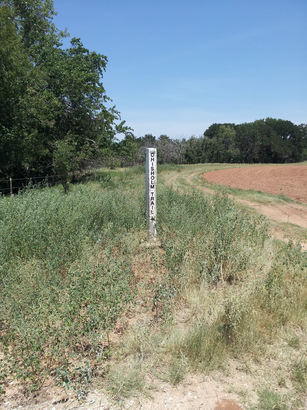
That combination — open approach, manageable width at low water, a sandy bottom that gave both cattle and horses some purchase — is why this crossing became the principal Texas-side ford of the Chisholm Trail. The river made the choice; the vaqueros and cowboys who drove cattle north confirmed it. Red River Station’s history runs from a modest Confederate watch post in 1861 through eighteen years of cattle-trail commerce at peak intensity, to a rapid collapse when the Fort Worth and Denver Railway arrived at Bowie in 1882 and made the entire overland drive to Kansas economically obsolete.
How Did Red River Station Begin?
Red River Station’s formal documented history begins with the Texas Frontier Regiment’s establishment of a watch post at this location in 1861. The Confederate state government’s Frontier Regiment — roughly 1,000 mounted men distributed across the entire western settlement line — was designed to hold the frontier against Comanche and Kiowa raids while Texas’s military-age men committed to Confederate service. The Regiment’s approach was mobile patrol from fixed bases, with a chain of posts serving as nodes for riders covering the intervals between them.
The Red River Station post watched the river crossings that raid parties used when moving south from Indian Territory into the Texas settlements. Its garrison was small — a detachment of Frontier Regiment riders, not a stockade full of soldiers. The physical infrastructure was accordingly modest: patrol-base structures, not fortification designed for sustained defense.
The post’s effectiveness had clear limits. The December 1863 Illinois Bend raid — a force of approximately 250 Kiowa and Comanche warriors that struck the communities east of Red River Station’s patrol range and killed at least a dozen settlers — proceeded despite the post’s existence. What the post could accomplish was presence and some raid interceptions; what it could not prevent were the largest organized operations of a sufficiently determined force. By 1867, Comanche and Kiowa pressure had driven most settler families east, leaving Montague County nearly emptied. The Frontier Regiment post at Red River Station was abandoned when the Civil War ended in 1865.
The crossing remained. The geography remained. And within two years, those assets would attract something different entirely.
What Made This Crossing the Heart of the Chisholm Trail?
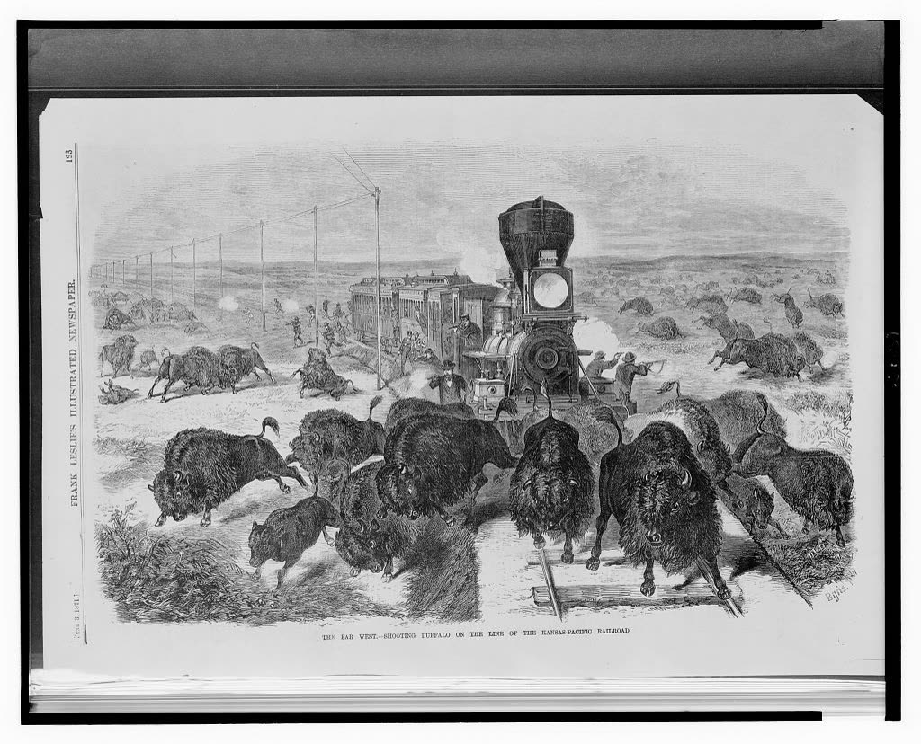
The Chisholm Trail — the principal cattle drive route from south Texas to Kansas railheads, named for the Cherokee-Scottish trader Jesse Chisholm whose wagon road through Indian Territory gave it its northern framework — began moving significant cattle north in 1866 and 1867. The Kansas Pacific Railroad’s arrival at Abilene in 1867 created the first reliable northern railhead within practical driving distance from Texas. Texas had millions of longhorns that had multiplied during the war years; Northern markets had been depleted; the price differential between a Texas longhorn (three to four dollars in Texas) and a Kansas railhead animal (twenty-eight to forty dollars) created the economic engine that drove the trail era.
For that engine to run, cattle had to cross the Red River. The geographic logic that had made Red River Station useful for a Confederate patrol post made it equally useful for a cattle crossing: open south-bank prairie for assembling herds, a manageable ford at low water, flat north-bank terrain for dispersal into Indian Territory. By 1867–1868, the Chisholm Trail’s main route was using this crossing as its principal Texas-side ford. Trail bosses arriving from south Texas with herds of 1,500 to 3,500 head found a crossing they could work, a ferry for high-water conditions, and increasingly the supply infrastructure that a drive outfit needed after weeks on the trail.
The crossing itself required skilled management. Lead steers — experienced cattle who had made previous crossings — went in first; the herd behind followed their behavior. Riders positioned at the herd’s flanks in the water maintained lateral pressure to keep the column coherent. The Red River floods without warning, rising six, eight, ten feet in hours when storms hit the Wichita watershed upstream. When cattle stepped into what looked like a shallow ford and found themselves suddenly swimming in fast current, the riders alongside them — using vaquero roping technique to redirect panicking animals — were the difference between a managed crossing and a drowning catastrophe. J. Marvin Hunter’s The Trail Drivers of Texas (1925) records drowning deaths at Red River crossings as a recurrent event, not a rare exception.
Who Actually Drove the Cattle?
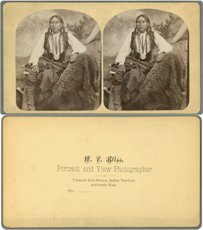
The trail workforce that made Red River Station function was not the homogeneous Anglo frontier experience that 20th-century mythology invented. A typical drive employed ten to fifteen people to move 1,500 to 3,500 head across sixty to ninety days from south Texas to Kansas. That crew, drawn from the post-Civil War labor pool, typically included Anglo-Texan drovers as the numerical majority, African American cowboys estimated at twenty-five percent or more of the total trail-era workforce by TSHA scholarship, and Mexican and Tejano vaquero workers who were, by virtually every contemporary account, the most technically accomplished segment of any crew.
Vaquero workers carried the complete technological inheritance of three centuries of Spanish-Mexican cattle practice. The terms of their trade are still visible in the American cowboy’s working vocabulary: lariat from la reata, the braided rawhide rope; chaps from chaparreras, the leather brush-country over-pants; buckaroo from vaquero itself; corral, cinch, remuda, stampede from estampida — a lexicon built on Spanish-language cattle practice that arrived at the Red River crossing as practical instruction, not cultural artifact.
The dally roping system the vaqueros used — wrapping the rope around the saddle horn in controlled slips rather than tying it off hard — was the specific technique that let a rider redirect a panicking thousand-pound longhorn in six feet of fast water without flipping the horse. That technique had a three-century pedigree. It was the operational core of what happened at this crossing for eighteen years.
The names of these workers were not recorded in the surviving Anglo commercial records of the trail town. Trail bosses kept cattle counts, not crew rosters. The merchants of Red River Station kept accounts for goods sold to outfits, not inventories of who was in those outfits. Across eighteen years of peak drive season at this crossing, with dozens of herds passing in the months from March through August and an estimated 5.2 million head moved north in total, vaquero workers crossed this river at scale. Their presence is a structural certainty of the historical record, even when the record declines to name them.
What Was the Town Like at Its Peak?
At the height of the trail era — roughly the mid-1870s — Red River Station supported an estimated 250 to 300 residents. That number is small by any urban standard but extraordinary for its context: a self-organized settlement in the river bottom of northwestern Montague County, sustained entirely by seasonal cattle commerce passing through it.
The infrastructure included: ferry operations for high-water crossings; multiple saloons (the economic heart of any trail town); supply stores carrying the consumables a working cattle outfit needed — flour, salt, coffee, beans, ammunition, rope, horseshoe nails; boarding houses for trail bosses and overnight travelers; stables, corrals, and a blacksmith capable of shoeing horses and repairing equipment worn by weeks of trail driving.
Trail-town character meant rough edges. Documented shootings, gambling at every table, and the social dynamics of men who had been weeks on the trail and had money in their pockets for the first time produced the disorder that made trail towns a byword in contemporary Texas. The accounts collected in The Trail Drivers of Texas describe river-crossing operations at this type of location in terms that are simultaneously admiring and cautionary — the crossing was dangerous, the town that serviced it was rougher, and the men who operated both knew what they were doing and what it cost.
Why Did Red River Station Disappear?
Three forces converged to end the trail-town economy rapidly, arriving within a few years of each other in the early 1880s:
The railroad arrived at Bowie in 1882. The Fort Worth and Denver Railway’s extension to Bowie — twenty miles south of the Red River crossing — made the entire overland drive to Kansas economically irrational for most Texas cattle operations. A rancher who could load cattle on rail cars at Bowie had no reason to organize a sixty-day drive. The drive’s economic justification had been the absence of a closer option. When that option appeared, trail drives to Kansas collapsed faster than anyone in 1880 would have predicted.
Kansas quarantine laws closed the northern endpoint. Texas longhorns carried tick fever that killed Kansas cattle without acquired immunity. Kansas farmers, whose operations were by the early 1880s substantial enough to defend politically, successfully lobbied for quarantine lines that pushed the effective terminal north and west. The last significant Chisholm Trail drives were in 1884–1885. By 1886 the trail was functionally closed.
Barbed wire subdivided the open range. Patented in 1874 and widespread across Texas by 1880, barbed wire enclosed the unfenced prairie that trail drives required. The corridor from south Texas to the Red River, which had allowed drives to move twelve to fifteen miles a day without negotiating private land, became a patchwork of enclosed ranches.
Without cattle drives, Red River Station had no economic basis. The saloons lost their customers. The ferry operator had fewer crossings to charge for. The boarding houses emptied. The community had organized itself around one specific economic function; when that function disappeared, the community went with it. Population fell rapidly. Some residents moved to nearby Nocona, which had diversified beyond trail-town commerce. Others left Montague County entirely.
What Remains Today?
The site of Red River Station is private ranch land with no surviving trail-era structures. Foundations and ground-level traces are detectable in some areas but require local knowledge to locate. The river itself — the Red River at the historic ford — is accessible at some points.
A Texas Historical Commission marker documents Red River Station’s trail-era significance. The specific marker ID and exact location require field verification; the THC Atlas status has not been confirmed in available online sources as of this writing. The cemetery at the site holds the most durable physical evidence of the trail era: markers, some weathered past easy reading, preserving a fraction of the deaths that occurred here.
There is no formal visitor infrastructure: no interpretive signage beyond the historical marker, no reconstructed structures, no managed access to the crossing point. The site is atmospheric for those who know what happened here. The historical weight — one of the most active cattle crossing points in 19th-century North America, the economic engine of Montague County’s most consequential commercial era — is disproportionate to the current physical presence. That gap between historical significance and modern interpretation is the central preservation challenge at this site.
Related Pages
- Chisholm Trail — the broader trail system of which Red River Station was the principal MoCo node
- Butterfield Overland Mail — the earlier stage route that used the same Red River corridor (1858–1861)
- Old Spanish Fort — the historic Taovaya village site a few miles upstream, at the oldest documented Red River crossing in the county