Montague County is defined ecologically by the intersection of two of Texas’s most distinctive landscape systems: the Western Cross Timbers to the east and center, and the Grand Prairie pressing in from the southwest. Nearly everything else in MoCo’s natural and historical record — the wildlife, the soils, the farming patterns, the raid routes and cattle trails — traces back to this foundational geography.
What Are the Cross Timbers?
The Cross Timbers is a long, narrow band of post oak and blackjack oak savannah running from southern Kansas through central Oklahoma into Texas, ending roughly at the Brazos River. It was one of the most striking geographic features that 19th-century travelers encountered on the southern plains — dense enough to force detours, distinctive enough to name. Washington Irving, who crossed the region in 1832 and wrote about it in A Tour on the Prairies (1835), described timber so thick and tangled that it ran across the otherwise open prairie corridors. Travelers named it for how it crossed their path.
Texas geographers conventionally divide it into two parallel strips:
- Eastern Cross Timbers: a thin north-south band immediately east of Fort Worth
- Western Cross Timbers: a wider belt running south from the Red River through Montague, Wise, Jack, Palo Pinto, and Stephens counties before merging with the Edwards Plateau
Between these two timbered strips runs the Grand Prairie — open, limestone-underlain grassland that gave Fort Worth its early agricultural identity. Montague County sits on the western side of the divide, in Western Cross Timbers proper, with the Grand Prairie’s northern arm encroaching from the southwest.
Why the Timber Band Exists
The Cross Timbers is a product of three converging factors, not a forest that spread arbitrarily:
Sandy, acidic soils weathered from underlying Permian and Pennsylvanian sandstones. These soils drain quickly, hold less moisture than the clay-rich blackland soils to the east, and favor drought-adapted woody species — principally post oak (Quercus stellata) and blackjack oak (Quercus marilandica) — that tolerate seasonal stress better than the mesic hardwoods found in East Texas.
A rainfall gradient in the 28–36 inch annual range. Enough moisture to support trees; not enough for closed-canopy forest. The result is savannah: scattered to clustered oaks with open grassy understory.
Periodic fire — both lightning-ignited and Indigenous-set — historically kept the woodland open, preventing eastern hardwood invasion and maintaining the mosaic of wooded patches and grass openings that early settlers described. Fire suppression through the 20th century has visibly thickened the timbers. What modern ranchers experience as “brush problem” — cedar, mesquite, and greenbriar encroaching on formerly open pasture — is partly a direct consequence of removing the fire regime that defined the landscape.
Eastern and Western Cross Timbers in MoCo
Most of central and eastern Montague County — the country around Bowie, Sunset, Forestburg, and southward — sits on Western Cross Timbers soils. The character: rolling hills with scattered to dense post oak / blackjack oak woodland on sandy loam, broken by cleared pasture and old cropland. Cotton farmers of the 1880s–1910s cleared much of this timber; after the boll weevil collapse, the woodland returned, often thicker than before because fire suppression allowed brush and cedar to fill former field margins.
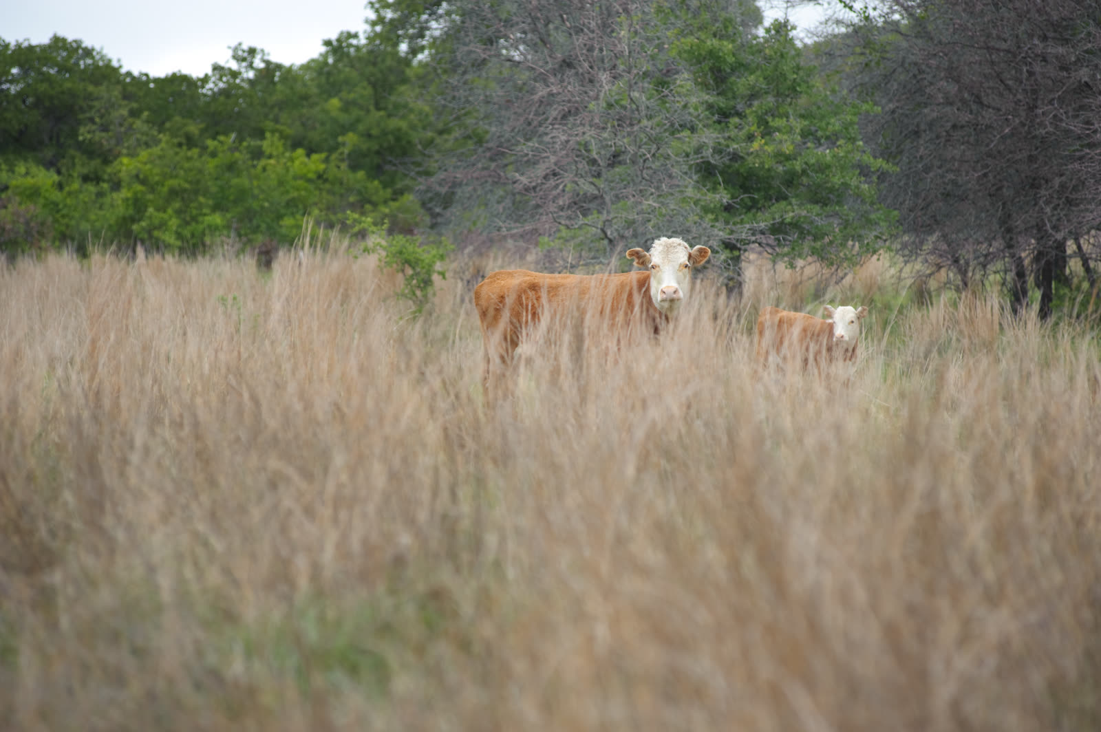
The western edge of the county opens toward the Grand Prairie and the broader Rolling Plains beyond. Here the characteristic plant community shifts to mid- and tall-grass prairie: little bluestem (Schizachyrium scoparium), big bluestem, Indiangrass, switchgrass, sideoats grama (Texas’s state grass), and buffalograss in heavily grazed pockets. This was the open cattle country of the Chisholm Trail era.
Dominant Tree Species
Post oak and blackjack oak are the signature upland trees of MoCo’s Cross Timbers. Their gnarled forms and dense scrub habit are the visual defining characteristic of the county’s wooded interiors. Neither produces valuable timber; their value is ecological — soil stabilization, wildlife mast, shade — and their persistence reflects adaptation to the sandy, acidic, drought-prone soils of the sandstone uplands.
The Red River bottomlands support a different assemblage: pecan, cedar elm, hackberry, eastern cottonwood, black willow, and bur oak along the floodplain. This riparian gallery forest is richer, wetter, and more productive than the upland timbers, and it is where MoCo’s pecan groves historically concentrated.
Eastern red cedar (Juniperus virginiana) is technically native but has expanded dramatically under fire suppression. Ranchers managing for grass treat cedar encroachment as an ongoing battle requiring mechanical removal, prescribed burns, or both.
Soils
The county’s soil diversity in brief:
- Windthorst series: sandy loam over clay subsoil — the standard Western Cross Timbers soil; supports oaks and improved pasture
- Konsil and Konawa series: sandier, more acidic, less fertile — the post oak / blackjack oak heartland
- Crawford and San Saba series: clay over limestone at Grand Prairie fingers — prairie grass country
- Yahola, Port, and Norwood series: Red River alluvium, rich bottomland — historically cotton, now hay and improved pasture
The variety of soil types within a single county is why MoCo’s agricultural history is so layered: cotton on the sandy loam terraces, peaches and apples on gravelly upland soils, watermelons in sandy bottomland, cattle everywhere there’s grass, pecans in the river bottoms.
Wildlife Habitat
The Cross Timbers / Grand Prairie junction creates the wildlife diversity that defines MoCo’s outdoor identity. The transition between timbered Cross Timbers and open prairie produces the edge habitat that game birds require:
- Bobwhite quail thrive at brush-edge, where grass for nesting meets woody cover for escape
- White-tailed deer feed in open areas and retreat to timber for cover
- Wild turkey use creek-bottom woodland and adjacent prairie
- Mourning dove concentrate on open ground with grain and water access
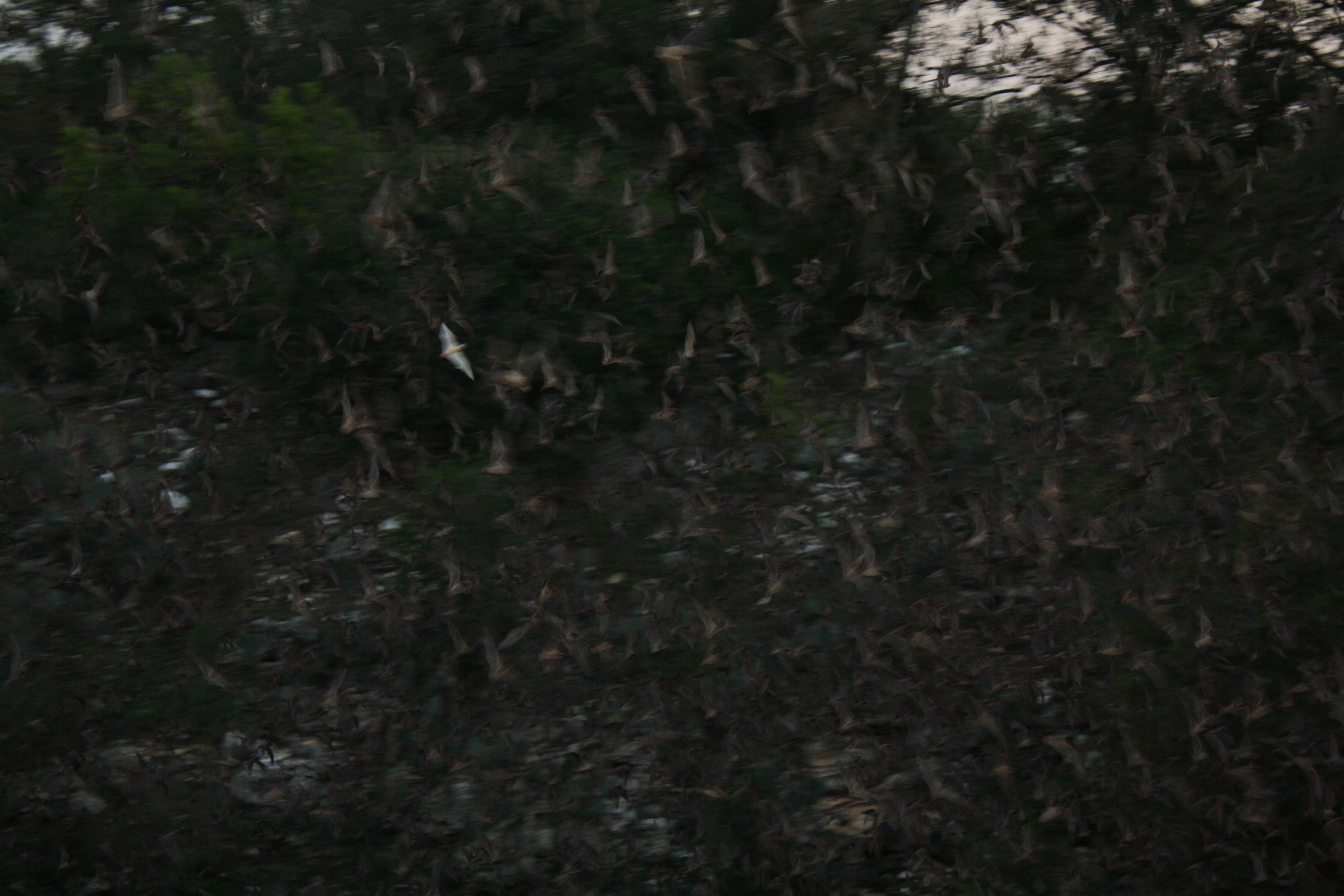
The Cross Timbers’ bat fauna relies on the mature-tree cavities and bridge structures that the ecoregion’s geography provides. Migratory birds follow the Red River corridor north and south; the timber belt provides stopover cover.
Land Cover Change
Pre-settlement Montague County was a mosaic of open post oak savannah, tallgrass prairie openings, riparian gallery forest, and fire-protected brush patches. The cotton boom of 1880–1914 dramatically simplified this: timber cleared, prairie plowed, fire suppressed. When the boll weevil and Depression forced land abandonment, the vegetation returned — but thicker, with cedar, mesquite, and brush species that fire had historically held in check.
Today’s Cross Timbers is a managed landscape: ranchers fighting brush, some landowners running prescribed burns, others focused on hunting lease management. The ecologically richest tracts tend to be those where some disturbance regime — fire, rotational grazing, selective clearing — maintains the open savannah character that the system evolved with.
Related nature topics: Native Trees | Native Wildflowers | Red River Ecology