The highway system shaped Montague County’s modern economic geography as decisively as the railroads had shaped its 19th-century economy — and the decision that mattered most was one that didn’t happen. When the Eisenhower Interstate Highway System was built beginning in 1956, it bypassed MoCo entirely. I-35 runs through Cooke County to the east; I-44 cuts across Oklahoma to the north. No interstate crosses Montague County.
That absence is as much a part of the county’s highway story as the roads that do run through it.
Before the Highways: Dirt Roads and the Texas Highway Department
Before the 1920s, MoCo’s road network was what most rural Texas counties had: dirt roads and gravel roads connecting communities, built and maintained at the county level, impassable in wet weather and dusty in dry. The Texas Highway Department, established in 1917, began the long process of standardizing and improving the state’s road system.
Paving came gradually through the 1920s and 1930s. The Works Progress Administration (WPA) provided federal funding for road improvements during the Depression era. By the end of World War II, MoCo had a basic network of paved roads connecting its major towns, supplemented by the gravel county roads that still reached every corner of the county.
The 1926 federal highway numbering system assigned the US route numbers that MoCo’s major roads carry today. That system was the first national attempt to rationalize road numbering and signage across state lines, making it possible for a traveler to follow a numbered route from one end of the country to the other.
US-287: The North-South Spine
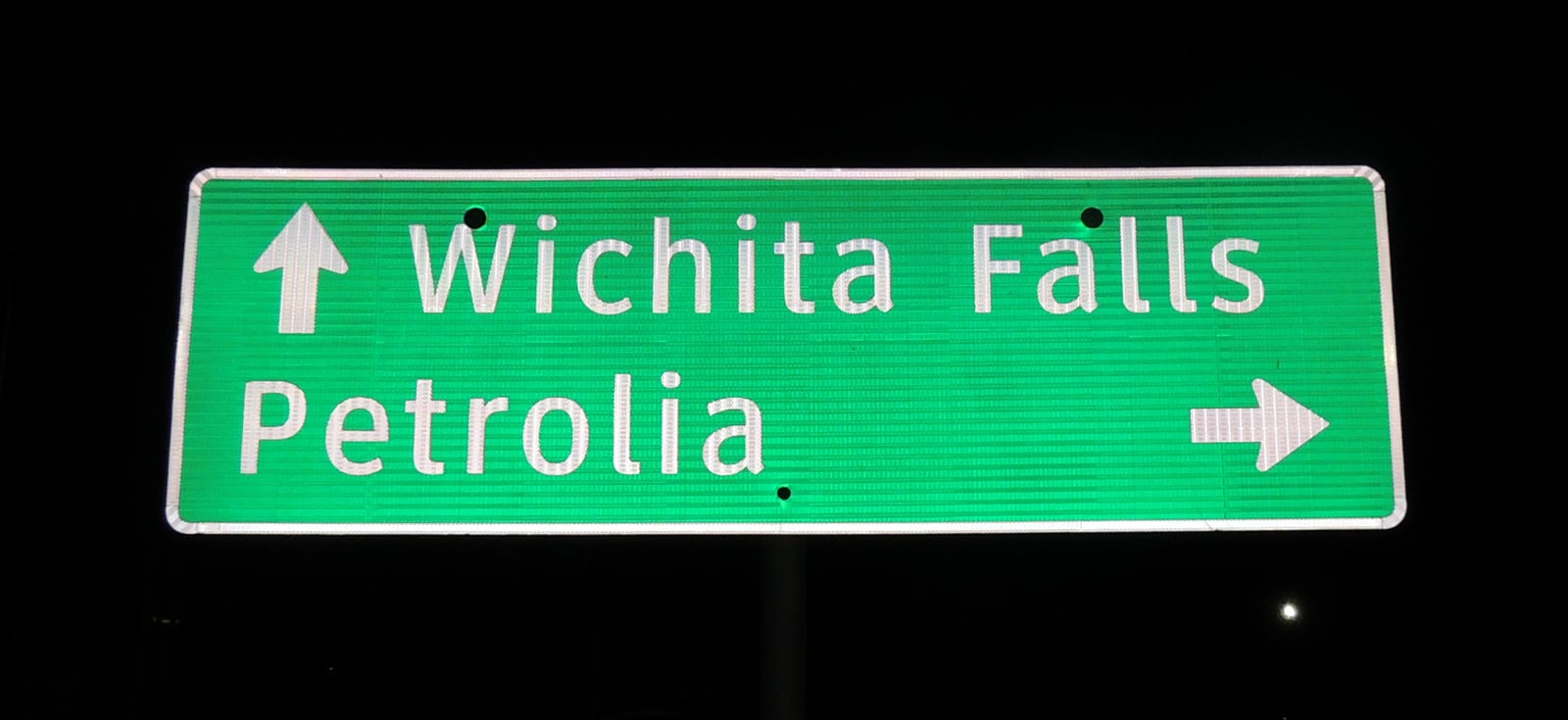
US-287 is the county’s most important highway — a north-south route running from southern Texas (Brownsville area) to Montana, passing through the heart of MoCo via Bowie. For Montague County, the relevant segment connects Wichita Falls to the north with Decatur and the DFW Metroplex to the south.
US-287’s economic role in MoCo is continuous and daily:
- Truck freight between DFW and Oklahoma and points north passes through Bowie on US-287
- Energy-sector traffic — tank trucks, oilfield equipment haulers — uses the corridor for KMA-area operations
- Agriculture — cotton in earlier decades, cattle and grain today — moves on US-287 between MoCo and regional markets
- Tourism and through traffic stops in Bowie for fuel, food, and lodging
US-287 is a two-lane highway through most of MoCo, with passing lanes on steeper grades. Several towns along the route have bypasses — the highway routed around the town center to improve traffic flow and safety. Bypasses are a double-edged gift: they speed long-distance traffic but reduce the stopping business that once sustained highway-dependent commercial strips.
US-82: The East-West Route
US-82 runs east-west across north Texas, connecting Wichita Falls to the west with Sherman and Denison to the east. Through MoCo, it passes through Nocona and Saint Jo — two of the county’s most historically significant towns.
The economic character of the US-82 corridor differs from US-287. Where US-287 carries heavy truck freight on a major north-south throughway, US-82 serves a more regional function: connecting MoCo’s eastern communities to each other and to adjacent counties.
- Nocona on US-82 is home to the boot manufacturing heritage, the Nokona baseball glove company, and Lake Nocona access
- Saint Jo on US-82 maintains its historic downtown square and hosts Saint Jo Trade Days, which draws regional traffic
- Lake Amon G. Carter is accessible from US-82 via Bowie roads, providing outdoor recreation access
The Chisholm Trail crossed north Texas along corridors that roughly parallel US-82’s east-west path through this region — a convergence that reflects the enduring logic of east-west movement through the north Texas landscape.
US-81: The Eastern Edge
US-81 is an original US highway running north-south from Mexico to Canada through Texas, Oklahoma, and Kansas. In MoCo’s context, it runs along or near the county’s eastern edge rather than through its center.
US-81’s significance in the modern era is largely historical. Since the 1960s, I-35 has paralleled and effectively superseded it as the primary north-south corridor through eastern North Texas. Gainesville (Cooke County), Denton, and the I-35 corridor have become the regional economic spine; US-81 serves local traffic on a route whose long-distance importance has transferred to the interstate.
The Interstate Bypass: What Montague County Missed
The Eisenhower Federal Aid Highway Act of 1956 launched the Interstate Highway System, the most ambitious road-building program in American history. The interstates were designed for high-speed travel, defense mobility, and national economic integration — limited access, controlled interchanges, and standards that made them qualitatively different from the US highway system they supplemented.
MoCo got none of it.
I-35 — the great north-south corridor connecting Laredo to the Kansas border through San Antonio, Austin, Waco, Dallas-Fort Worth, and Gainesville — runs through Cooke County, east of Montague County. I-44 — connecting Wichita Falls to Oklahoma City — runs through Oklahoma, north of the county. No interstate crosses Montague County territory.
The consequences have been significant and long-lasting:
Economic development: Industries that depend on interstate access — distribution centers, large-scale manufacturing, truck logistics hubs — generally did not locate in MoCo. The I-35 corridor through Cooke County, Denton County, and Tarrant County has absorbed the region’s major industrial and commercial growth. MoCo attracted none of that development tier.
Population growth: Counties with interstate access have generally experienced higher population growth over the past 60 years than bypassed counties. Cooke County’s Gainesville and Denton County’s explosive growth are interstate-corridor stories; MoCo’s relatively stable population reflects, in part, the absence of that growth driver.
Rural character: The flip side of the bypass is preservation. MoCo has not experienced the sprawl, congestion, and rapid landscape transformation that interstate corridors generate. The small towns, rural road networks, and agricultural landscapes that define the county’s character are partly preserved by the simple fact that the economic forces most disruptive to rural landscapes didn’t have easy highway access.
Whether the interstate bypass was a net loss or a mixed result depends on what you value. For economic development advocates, the bypass was a missed opportunity that explains decades of slow growth. For those who value the county’s rural identity, the bypass is part of why MoCo still looks and feels like rural north Texas rather than another DFW exurb.
Farm-to-Market Roads and the FM Network
Texas’s Farm-to-Market (FM) road system, begun in 1949, represents the densest layer of the state’s road network. FM roads connect farms, rural communities, and small settlements to the US highway and state highway network. In MoCo, dozens of FM roads cover the county: FM 51, FM 59, FM 61, FM 175, FM 455, FM 922, FM 1655, FM 1759, FM 1816, FM 2382, FM 2953, and others.
These are TxDOT-maintained roads, but at the smallest scale — two lanes, often without shoulders, serving the genuine last-mile function of connecting agricultural land and rural households to the broader network. They are the capillary system of MoCo’s transportation network, without which the US highways and state highways would be useful only to the minority of the county’s land area within reach of them.
Highway-Era Town Decline
The same highway system that connected MoCo’s towns to the regional economy also determined which towns would grow and which would shrink or disappear. Towns on major highways had access to through-traffic; towns bypassed by highways lost economic rationale.
Sunset is the clearest example: once a railroad-and-highway stop, the town disincorporated in 2007 after losing the commercial function that both modes of transportation had once provided. When neither the railroad nor the highway still stopped there in any meaningful sense, the town had no economic engine.
The pattern is broader than a single community. Highway bypasses around town centers — built for safety and traffic efficiency — redirected the economic impulse of through-traffic away from downtown businesses. Gas stations and restaurants at new bypass interchanges replaced those on the old through-road. The physical map of commerce shifted with each bypass construction.
Modern Transportation Reality
US-287 carries the county’s heaviest freight traffic, including the energy-sector truck traffic generated by KMA-area oilfield operations. US-82 serves east-west movement and provides Nocona and Saint Jo their regional connectivity. The FM road network gives rural residents paved access to the higher-order system.
Aviation plays a minor role: the Bowie Municipal Airport serves general aviation (private planes, charter, some agricultural aviation) but no commercial scheduled service. The nearest commercial airports are Wichita Falls (Sheppard AFB area) and DFW International.
Future highway development — including possible US-287 four-laning in some segments and the long-discussed I-69 Texas corridor — could affect adjacent counties, with secondary effects on MoCo. For now, MoCo’s highway network is what it has been since the 1926 numbering system: three federal routes supplemented by state highways and a dense FM grid, connecting a rural county to the regional economy without the interstate infrastructure that would transform it into something else.
Related pages: Lost Railroads of Montague County · Modern Era Index
Sources: TSHA Handbook of Texas (“U.S. Highway 287,” “U.S. Highway 81,” “Eisenhower Interstate System,” “Interstate Highway 35”); Texas Department of Transportation; Eisenhower Presidential Library, “Interstate Highway System.” Regional highway patterns confirmed via TSHA. Specific MoCo route designation dates and bypass construction history require further research in TxDOT historical records.