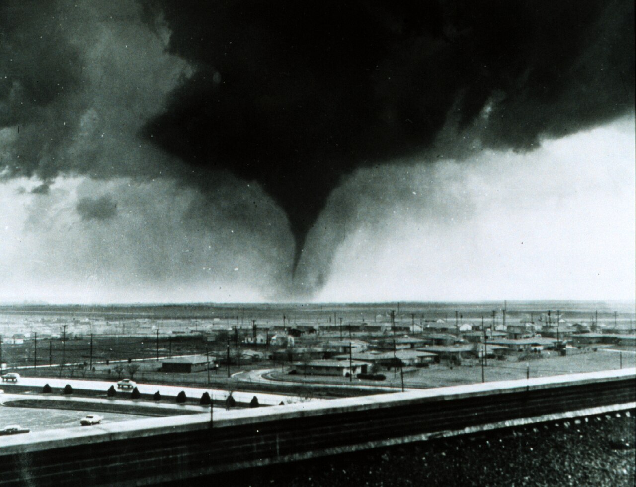
Montague County sits in the heart of tornado alley — the broad band of the southern plains where Gulf moisture, dry western air, and fast-moving jet-stream systems collide repeatedly each spring. The county has experienced multiple violent tornadoes (F4 and EF4 class) across its documented history, an unusually high incidence for a single small county. Tornado deaths in MoCo total in the dozens across recorded events. The broader pattern — frequency, season, mechanism — is in the companion file on tornado climatology. This page collects the named events.
The 1906 Bellevue–Stoneburg Tornado
One of the most violent tornadoes ever to cross Montague County struck on the afternoon of April 26, 1906, moving out of Clay County and rating F4 on the Fujita scale — winds estimated at 207 to 260 mph.
The storm first devastated Bellevue (a railroad-shipping town just across the line in Clay County), then tracked seven miles east into Stoneburg, in Montague County, where it injured about 20 people and tore through the community. Of the 17 confirmed deaths, most were in Bellevue. Property damage reached $300,000 in 1906 dollars — near-total destruction across the storm’s path.
Bellevue, which bore the worst of it, rebuilt quickly over the following year or two and eventually grew past its pre-storm size — but that recovery is Clay County’s story, documented in the Bellevue News and Clay County Historical Society records. For Montague County, the 1906 tornado is remembered as the disaster that struck Stoneburg, and it remains a reference point for how exposed this corner of north Texas is to violent spring storms.
The 1905 Events: A Severe Season
July 1905 was a particularly destructive severe-weather period for MoCo and surrounding counties. Multiple tornado touchdowns through July produced 14 to 18 county-wide deaths in and around Bowie and Nocona, and damaged the Montague courthouse substantially. An April 30, 1905 tornado had already struck the courthouse (the T.J. Jarrell courthouse, built 1885) before the July events. The combined 1905 damage helped necessitate the current Classical Revival courthouse, built in 1913.
The 1905 July events are referenced across multiple town files (Bowie, Montague, Nocona) and stand as one of the deadliest severe-weather periods in county history. Specific rating and path data for individual storms in this period require additional primary research.
April 15, 1921 — Bowie
A tornado struck Bowie on April 15, 1921, killing 10 and injuring approximately 50. Property damage reached $85,000 in 1921 dollars — substantial for a small town. The event affected Bowie’s town center and is documented in the town’s history.
May 17, 1889 — Forestburg
The earliest documented tornado fatality in the county’s record: two students killed at school in Forestburg on May 17, 1889. A frontier-era event predating most formal Plains tornado climatology records. Details remain sparse; it predates NOAA’s systematic storm documentation by decades.
February 10, 2009 — Spanish Fort / Lone Grove
The most recent significant tornado event to touch Montague County tracked through the Spanish Fort area in the county’s northwest corner on February 10, 2009 — rated EF1 in Texas, with winds of 95 to 100 mph sufficient to snap pecan trees up to 30 inches in diameter.
The story of this storm is in the contrast between its Texas and Oklahoma portions. After crossing the Red River, the tornado intensified dramatically, reaching EF4 intensity in Lone Grove, Oklahoma — 166 to 200 mph winds — before continuing through Jefferson, Love, and Carter Counties. Eight people died in Lone Grove; 46 were injured. No deaths occurred on the Texas/MoCo side.
The tornado path began south of Spanish Fort, tracked approximately 2.36 miles NNE to the Red River, then continued into Oklahoma. The MoCo passage was EF1; the Oklahoma destruction was catastrophic. It is a useful demonstration that even in the modern warning era, significant tornadoes pass through the county — in this case, on their way to something worse.
Note: Some source materials have incorrectly attributed the 2009 event to Nocona, with a September date and EF4 rating for Texas. Those details apply to the Oklahoma portion of the same storm. The Texas/MoCo track was February 10, Spanish Fort area, EF1.
Casualty Summary
| Date | Location | MoCo Deaths | Notes |
|---|---|---|---|
| May 17, 1889 | Forestburg | 2 | Frontier-era record |
| July 1905 | County-wide | 14–18+ | Multiple events; citation pending |
| April 26, 1906 | Bellevue (Clay Co.) + Stoneburg (MoCo) | 17 total | Verified — TSHA/ClimatexAS |
| April 15, 1921 | Bowie | 10 | Citation pending |
| February 10, 2009 | Spanish Fort (EF1 MoCo → EF4 OK) | 0 in MoCo | 8 deaths in Oklahoma; verified NWS Norman |
Total documented MoCo tornado deaths across significant named events: approximately 28–32. Additional deaths from smaller or undocumented events are not captured here.
What This Record Means
A single small county with multiple F4 events over a 120-year period is climatologically notable. The climate-and-weather file covers the broader tornado-alley mechanics. The county’s position in north-central Texas — at the convergence of Gulf moisture flowing north and dry continental air coming east off the Llano Estacado — places it in a persistent high-risk corridor for supercell development.
The cultural result is a storm-shelter awareness that shapes how MoCo residents build, plan, and react to spring weather. Modern warning systems (Doppler radar, NWS alerts, outdoor sirens) give far more lead time than Stoneburg had in 1906. The 2009 Spanish Fort event offers a more recent example of the system working: the EF1 MoCo passage produced no deaths; Oklahoma residents had somewhat more warning time than would have been available in earlier eras, though the EF4 intensity and speed still resulted in fatalities there.
Comprehensive drought and climate context: see drought cycles and climate and weather.