Montague County’s map is crowded with places that no longer exist.
Twenty-three settlements have been documented in county history. Ten are truly gone — no buildings, no residents, sometimes only a weathered cemetery stone to mark where a community once gathered. Nine tiny crossroads survive with a handful of people but none of the commercial or civic infrastructure that once made them communities in any functional sense. The three incorporated cities (Bowie, Nocona, Saint Jo) and the county seat (Montague) are what remained after the railroad era, the cotton bust, the oil field cycles, and the long rural decline sorted the survivors from everyone else.
Understanding the ghost towns is understanding how settlement actually worked in north Texas. Communities formed around water, trail crossings, and post offices. When the railroad came and chose a route, it created new towns and destroyed old ones within a decade. When the post office closed, the community lost its legal address and its reason to exist on official maps. When the school consolidated into a larger district, the children left with their parents for wherever the schools went. The timeline of MoCo’s ghost towns is the timeline of rural Texas.
Truly Vanished
Red River Station
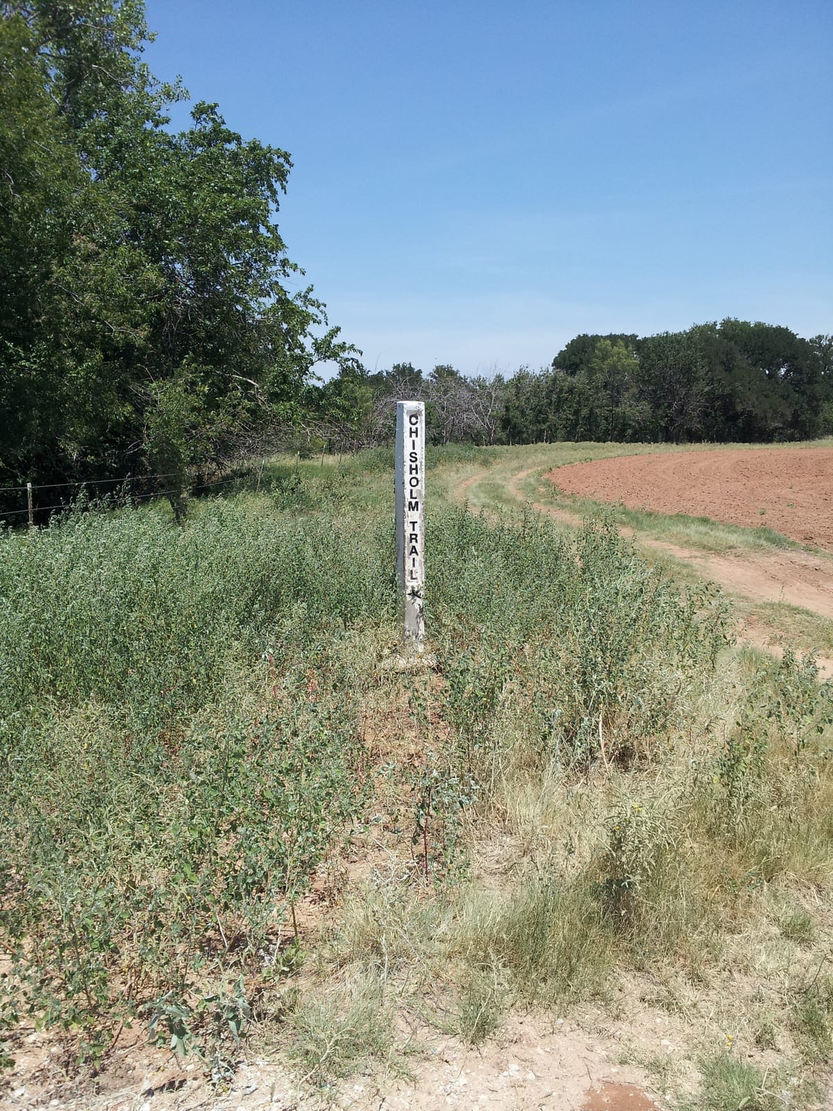
The most historically significant of Montague County’s ghost towns, Red River Station operated at Salt Creek in the county’s northwestern corner from the 1860s through 1887. It was the principal Chisholm Trail crossing on the Texas side of the Red River — the last supply point before Indian Territory — and at peak drive season supported 250 to 300 residents. The Gainesville, Henrietta and Western Railway bypassed it in 1886-1887, directing commerce southward to newly founded railroad towns. A tornado in the late 1880s destroyed much of what the railroad bypass had not already emptied. The post office closed in 1887. Today only the cemetery remains.
See: Red River Station · The Chisholm Trail in Montague County
Magnolia
An oil-boom community that rose and fell in the 1920s in the county’s north-central area. No post office, no physical remains documented. Magnolia is among the most thoroughly vanished of Montague County’s communities.
McGee
An eastern Montague County community that functioned before 1900 and declined through rural consolidation and post-office closure around 1920. McGee Cemetery — with its marked graves — is the sole surviving evidence of the community.
Fruitland
Confirmed by TSHA Handbook entry. Specific location and remains not publicly documented in available sources.
Surviving as Cemetery or Marker Only
Spanish Fort
The town of Spanish Fort — distinct from the archaeological site of the Taovaya villages — operated at the Red River crossing from a post office established in 1877 through a peak population of 300 to 400 in the early 1900s. Its decline came as cattle-drive commerce ended, railroad lines passed elsewhere, and farm-era commerce concentrated in the railroad towns. The post office closed around 1970 — the last of Spanish Fort’s institutional functions. A historical marker and the old cemetery at the Red River site are what remain. The broader Spanish Fort archaeological zone — site of the 1759 Battle of the Twin Villages — carries significance that extends far beyond the 19th-century settlement.
See: Spanish Fort · Old Spanish Fort
Tiny But Extant
These communities technically exist — they have residents and sometimes a road sign — but lack the commercial, civic, and educational infrastructure that defines a functioning community.
Illinois Bend (population ~30 as of 2000) — FM 677 north of Saint Jo in the county’s northeastern corner. The Illinois Bend Memorial Cemetery on Illinois Bend Road holds approximately 499 memorials and carries a Historic Texas Cemetery designation. Site of the December 1863 raid that was the most documented single Indigenous military action in county history. Annual homecoming still held in April.
See: Illinois Bend
Belcherville — South of Nocona. Post office operated to 1954; fires in the 1890s and WWI era destroyed much of the original town. The school marker remains. A classic railroad-bypassed small community.
See: Belcherville
Stoneburg — 15 miles west of Montague. Hit by a F4 tornado in 1946 and an F3 in 1958. Approximately 51 residents as of 2000.
Forestburg — 15 miles southeast of Montague. Population declined from 212 in the 1920s to 50 by 2000. The historic 1937 WPA-era school building (rebuilt 1996) is its most tangible surviving institution.
See: Forestburg
Capps Corner — 13 miles east of Nocona in the far northeastern county. Filling station and store operated to the 1980s; school consolidated in 1961. Minimal current activity.
Gladys — 6 miles south of Saint Jo in the Clear Creek valley. Post office closed 1911; school consolidated by the 1940s.
Bonita — 9 miles northeast of Montague. Established with the railroad (1886); post office history unclear. Very small.
Fruitland — TSHA-confirmed community. Current status uncertain.
Why Communities Die
The Montague County ghost-town record points to a consistent set of decline causes:
Railroad bypass (primary cause) — When the Fort Worth and Denver City Railway (1882), the Gainesville, Henrietta and Western (1886-1887), and other lines chose routes, they created economic gravity that pulled commerce toward the new depot towns. Communities not on the route had ten to fifteen years before their viable commercial life transferred to Bowie, Nocona, or another railroad town.
Post office closure — The post office was the legal and logistical anchor of a rural community. Its closure meant loss of mail service, loss of official status, and loss of the gathering point around which rural social life organized.
School consolidation — State consolidation programs of the 1930s-1970s merged one-room schoolhouses and small district schools into larger centralized ISDs. When children’s schooling moved to Bowie or Nocona, families often followed. The school was often the last community institution; its departure ended the community.
Economic single-point failure — Communities that depended on one crop (cotton), one resource (oil), or one commercial function (trail crossing) were vulnerable to the collapse of that function. Magnolia (oil bust), Red River Station (trail end + railroad bypass), and Spanish Fort (cattle-drive end + population dispersal) all followed this pattern.
Sources: Texas State Historical Association Handbook of Texas Online (individual community entries: Red River Station, Spanish Fort, Illinois Bend, Belcherville, Stoneburg, Forestburg, Capps Corner, Gladys, Bonita, Fruitland, Magnolia, McGee); USGS Geographic Names Information System.